

Buku is a Professional Land Surveyor with 15 years of surveying experience in Alaska. He has worked throughout Alaska on projects of every scale. He has worked extensively in the public and private sector across a wide range of survey fields.He has done public sector work with many organizations including BLM, the Forest Service, AK DOT, and Anchorage and Mat-Su Boroughs. In the private sector he has worked with companies involved in oil and gas, mining, developers, and real estate.
Fixed Height LLC is a land surveying company based in Anchorage, Alaska. Surveying in Alaska offers many challenges. Remote locations, inclement weather, and vast project areas all make surveying in the last frontier daunting and exciting. We believe there is an opportunity to use new technology to overcome the many obstacles that Alaska sets before us. Leveraging technology, we will provide better products faster, resulting in a company that is more responsive to client needs.
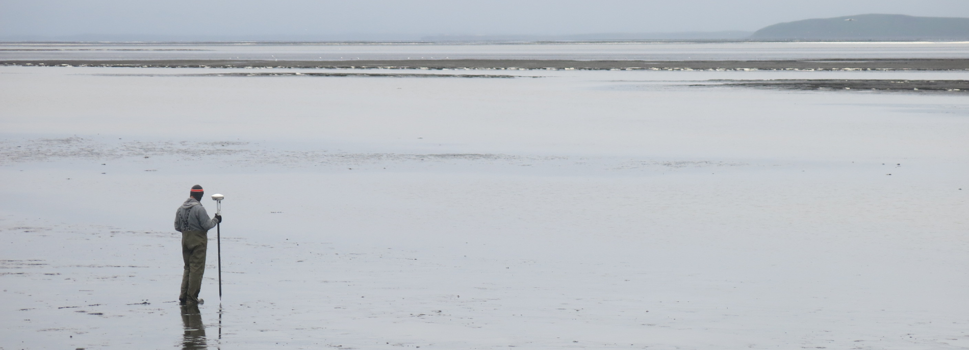
In the last 10 years there has been a great influx of tools related to spatial data acquisition, analysis, and presentation. Some of these tools include Network RTK GPS, Laser Scanning, LIDAR, Drones (Low altitude imagery and LIDAR), Structure from motion processing, Virtual Tour, GIS, and many more.
Fixed Height incorporates these tools into a traditional workflow, creating new and more useful products for clients. The result is higher production, better products, and world domination (well, that might be a stretch.)

Alissa is a Professional Land Surveyor and a lifelong Alaskan. After growing up in Southeast she moved to Anchorage to attend the University of Alaska Anchorage. She obtained a Bachelor of Science degree in Geomatics with an emphasis in Geographic Information Systems from UAA in 2005. She has worked in the field and in the office with several Surveying/Engineering firms in Alaska and the lower 48 and has dealt extensively with ROW, platting, and topographic mapping.